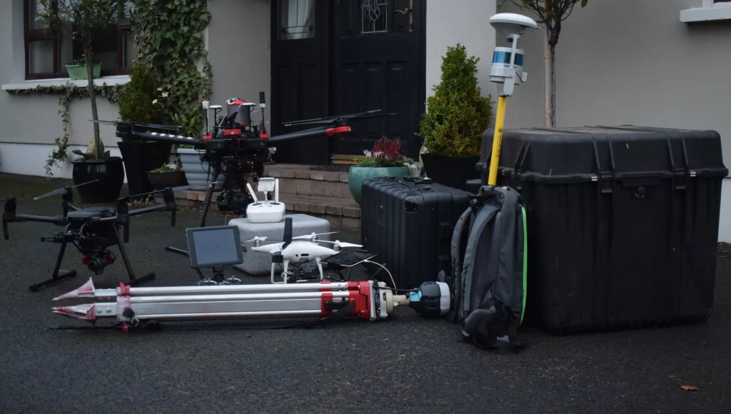
Advanced GNSS & Drone Surveying Ireland: We use advanced GNSS technologies for centimeter-level accuracy.
About the company
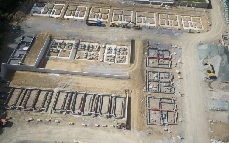
We create digital products for clients across the built and natural world, specializing in drone surveying in Ireland for engineering, quarrying, and forestry. We provide professionals with the tools they need to better manage operations—from design to topographical information, to measurement of asset value—using high-accuracy GNSS and PPK/RTK technology tailored to every project.
We specialise in remote sensing and carry out geodetic measurements collected from the air. We have multidisciplinary expertise in geomatics engineering and provide digital products to a variety of real-world industries and professionals. All our operations are conducted under Irish Aviation Authority regulations. Our advanced technology allows us to complete data collection over complex terrain with high efficiency and precision.