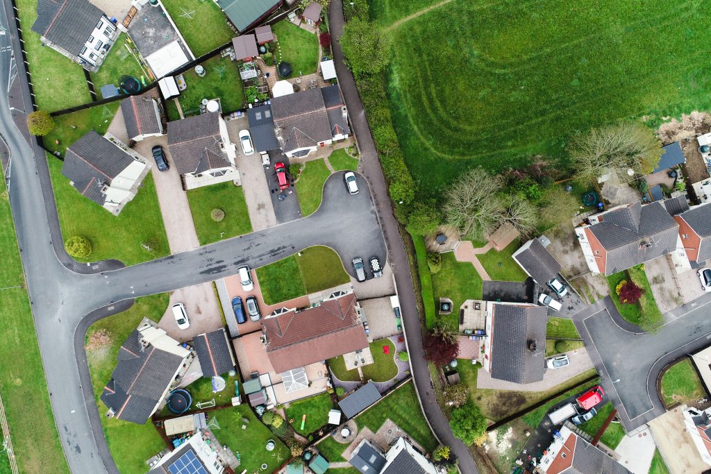
OSI mapping is created with aerial photogrammetry for mapping larger areas. It is limited in terms of resolution and thus some features can be drawn as a single line on OSI maps e.g. hedges, narrow paths. We can assist clients to determine mapped versus factual location of a boundary using higher resolution imagery and orthophotography while also helping them understand the intricacies of legal mapping so that we can help make transactions more efficient.