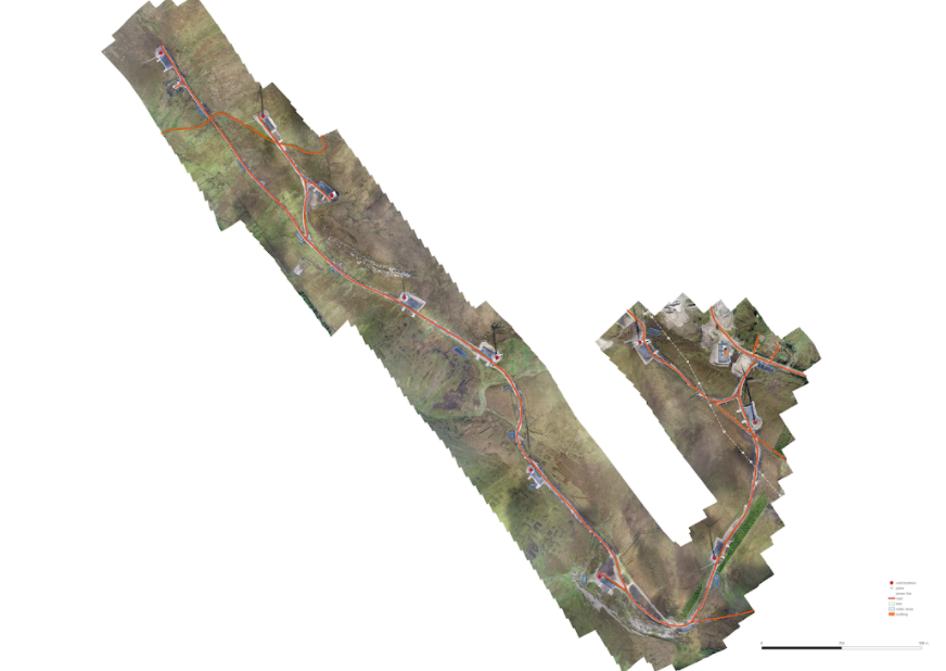
Our use of PPK means we collect GNSS corrected data to obtain centimetre-level accurate data. This means that rather than using ground control points (GCPs) to georeference the dataset, we can use check points to check the overall horizontal and vertical accuracy of the data. This means that we need to place much less points on the ground which streamlines field work, especially with linear stretches where lots of ground control would otherwise be needed.