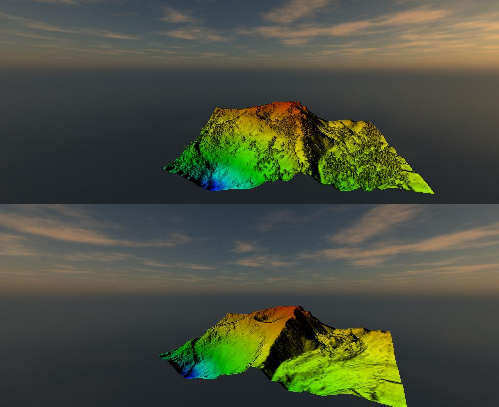
Topographical surveying involves accurately representing the natural and built world in a digital environment. Digital Surface Models (DSMs) represent and map the Earth’s surface and everything on it. Digital Terrain Models (DTMs) map the bare ground surface (terrain). These models can be created by interpolation of a Triangulated Irregular Network (TIN) or a raster gridded DEM depending on the application.
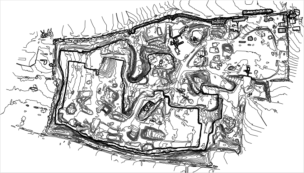
Contour lines are generated to indicate levels across the site. A points.csv file can also be used for this purpose. A terrain model created from photogrammetry can be improved by removing obstructions from the point cloud e.g. trees, construction rubble and in the case of the latter example, elevation values interpolated around the perimeter of the obstruction.
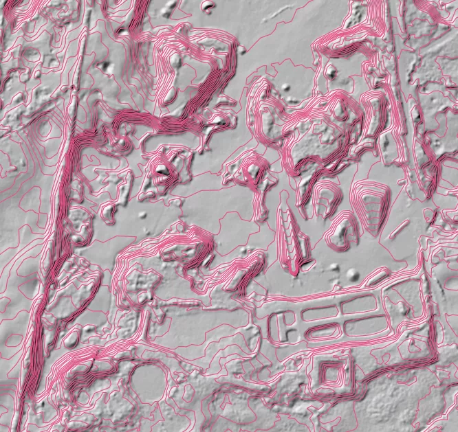
Generated contour lines (quarry)
DSM representing the terrain and vegetation on it; DTM representing terrain only. Datasets processed from aerial LiDAR data from OpenTopography
We use photogrammetry-based methods for topographical surveying where applicable (primarily on hard surfaces). Limitations exist when using this tool-set in terms of vegetation. For example, if it’s a grassy area, the longer the grass, the less accuracy that can be expected. Our investment into LiDAR technology solves this problem due to the ability of laser pulses to penetrate vegetation to the ground level
We use our LiDAR technology to quickly survey terrain, even under dense vegetation. A LiDAR derived point cloud will very quickly allow for the processing of DEMs and contour lines generation. A dual sensor payload (RGB camera and LiDAR) will mean the point cloud can be colourised with realistic RGB colours. Collected image data can also be used in this data collection scenario for processing an orthomosaic where necessary.